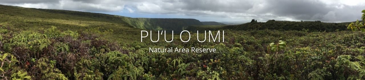
Pu‘u O ‘Umi
 Acres: 10,142
Established: 7/9/87
TMK: 4-9-13-1 (5,388), 6-1-1-1 (2,239), 6-2-1-1 (252), 6-2-1-2 (872), 6-3-1-2 (2,310), 6-3-1-4 (4,547), 6-3-1-5 (1,598), 6-3-1-7 (130)
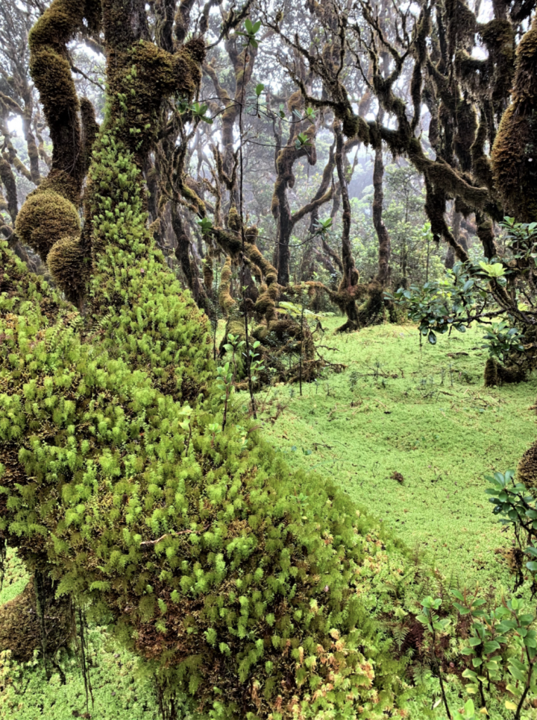
This Reserve includes the wet summit lands of the Kohala Mountains, with two rare kinds of montane bogs surrounded by ‘ohi‘a forests, shrublands, and grasslands.
The Reserve extends downslope to the Kohala sea cliffs and a coastal dry grassland. Rare plants are known from bogs and forests. The steep cliffs of Waipi‘o and Waimanu valleys form part of the Reserve boundary. Numerous streams run through the area. The Reserve is an important watershed for the region.
Natural Communities: 13 total, 2 rare
Native Plants: 124 total taxa, 12 rare
Native Animals: 7 total taxa, 3 rare
Plans & Projects
- Pu‘u O ‘Umi Management Plan
- Kohala Watershed Partnership
Contains management plans and other info that covers Pu‘u O ‘Umi NAR
Additional Resources
- Pu‘u O ‘Umi Fact Sheet
- Pu‘u O ‘Umi Topographical and Vegetation Map
- Pu‘u O ‘Umi Topographical Map
- Conservation District Use Permit
- Special Management Area Info
- He Mo‘olelo ‘Āina: Pu‘u O ‘Umi
- Pu‘u O ‘Umi Executive Orders 1660 and 3367
Photos
 PC: Nick Agorastos
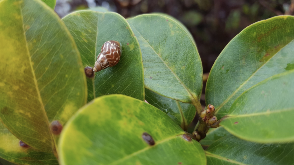 PC: Zachary Judd
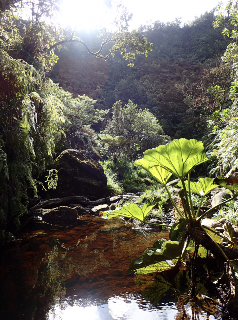 PC: Zachary Judd