Outreach Sites & Information
 Outreach Activities
  Project Background
  Restoration Areas
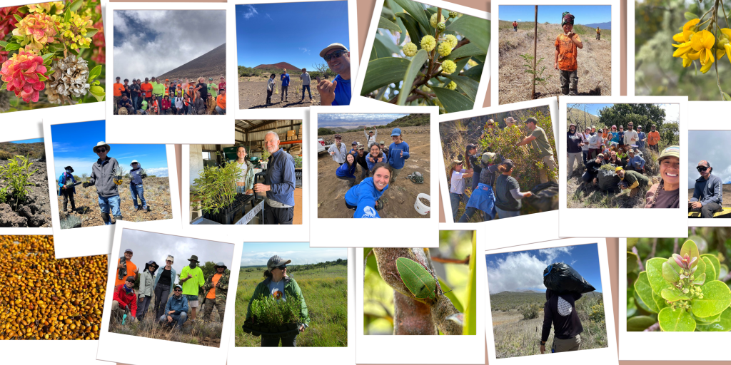
Be a part of our ongoing effort to protect and restore Maunakea. Our volunteer events offer hands-on opportunities to plant and learn about the unique ecosystem that supports all native species found on Maunakea. Whether you’re joining for a single day or returning regularly, your time and energy make a lasting difference. Explore the tabs below to learn more about our project, restoration areas, and the types of outreach activities we offer!
Interested in volunteering? Click here to be redirected to our Volunteer Page ⇦