**IMPORTANT PARK NOTICES**
Monitor weather reports before your park visit.
•
[ALL ISLANDS] UPDATE – 12/12/25: Camping - Reservations for February 1, 2026 and beyond available at https://explore.ehawaii.gov, please create an account on Explore Outdoor Hawaiʻi to make a camping reservation.
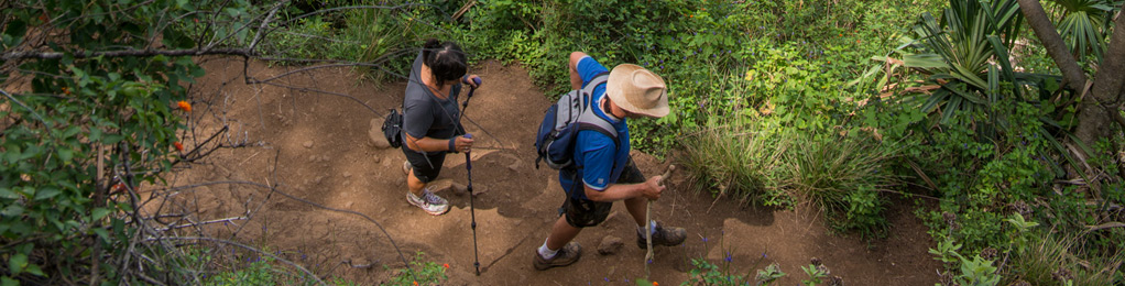
Ke Ala Loa O Maui/Piilani Trail
| Trail Length | 3 miles (round trip) |
| Activity | Pedestrian |
| Difficulty | Moderate |
| Terrain | Barren Lava, Ups and Downs. |
| Elevation Gain | 200 ft |
| Park Name | Waiʻānapanapa State Park |
Description
This is a rugged coastal trail over largely barren lava, offering spectacular views of the Hana Coast and Slopes of Haleakala, as well as stands of native hala (screwpine) trees and small offshore islets.
Route
From the State Park make your way to the shoreline at Pailoa Bay (cliff shoreline) and head southeast. The trail is obvious in some areas and less so in others, but it is easy to follow the shoreline where it is not well-marked. Be respectful of gravesites within the park area, please stay outside of these areas, indicated by low stone walls and stone platforms. Pass the park cabins and Ohala heiau (temple) inland of the trail. Continue along the rocky shoreline until you reach a boulder beach, indicating the end of the trail From this point, you can retrace your steps, or follow roads leading to the Hana Highway to return to the park. Allow at least 2 hours for the hike. You may also make a full day of it and continue along the beach to Hana Bay, where food is available and swimming is accessible.
Directions
Take Highway 360 about 53 miles (3 hours) east of Kahului airport. Waiʻānapanapa State Park is at end of Waiʻānapanapa Road.
Additional Info
- Mountain biking is not allowed on this trail.
- Stay on the trail.
- Keep dogs on leash.
- Pack out at least what you pack in.
- No open fires.
Activities
Facilities
Hazards
Prohibited
Area Weather Forecast

