**IMPORTANT PARK NOTICES**
⚠️ Always monitor weather reports and ocean conditions before your park visit.
•
[O’AHU] UPDATED 4/9/26
Due to severe weather conditions, ALL O’ahu parks, trails, camp areas, and offices are CLOSED Friday 4/10/26 until further notice.
•
[KAUA’I] UPDATED 4/9/26
Koke’e State Park camping will be CLOSED for campground improvements. Construction to begin May 2026 and extend through Spring 2027.
—
Wailua River State Park: river waters will be CLOSED to vessels beginning 4/9/26 due to potential for flash
—
[KAUAʻI] UPDATED 4/9/26
The Kalalau trail and Haʻena Shuttle has CLOSED until further notice due to imminent weather and saturated water levels that may cause the Hanakapiai stream to rise quickly.
–
Polihale State Park and camping is CLOSED until further notice due to mud and debris removal.
-
Pāʻulaʻula State Historic Site: CLOSED for construction.
•
[O’AHU] UPDATE 3/30/26
Kaʻena Point State Park, Mākua-Keawaʻula Section: CLOSED due to flooding and collapsed road on Farrington Highway.
-
Kaʻena Point State Park, Mokulēʻia Section: CLOSED due to saturated and eroded roads.
•
[MAU’I] UPDATE 3/30/26
Polipoli Spring State Recreation Area: Polipoli cabins and camping areas are CLOSED until further notice.
-
\'Iao Valley State Monument: Currently CLOSED until further notice. Parking and entry CLOSED until April 26.
•
[HAWAI’I] UPDATE 3/25/26
Akaka Falls State Park: Water and comfort station CLOSED, park open with portable toilets.
•
[MOLOKAʻI] 3/23/26
Palaʻau State Wayside and camping areas CLOSED for renovations until May 4.
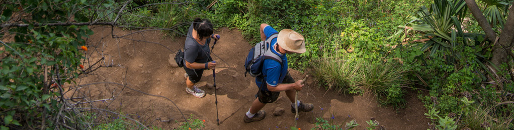
Kawaikoi Stream Trail
| Trail Length | 1.8 miles |
| Activity | Pedestrian |
| Difficulty | Easy |
| Elevation Gain | 40 ft |
| Park Name | Kōkeʻe State Park |
Route
The trail starts 3/4 of a mile beyond the Forest Reserve entrance sign on the Mohihi-Camp 10 Road, and upstream from “Sugi Grove.” This is likely the most scenic mountain stream side trail in Hawaii. Total length is about 1.75 miles. The first half follows the southern side of the stream. The upper portion makes a loop, first going inland, then returning on the north side of the stream to re-connect with the first section.
Additional Info
Commercial use by permit only.
As of March 11, 2014, the Kauai recreational trail map is temporarily unavailable for distribution or purchase.
Do not use any trail or access road that is not delineated by name and color and that may also be displayed on these maps. The marked features are managed for public recreational use. Other trails or roads that branch off from the public features may be on private property, and are not managed for any public recreational use. Access is subject to adjacent landowner approval, and if used without authorization, you will be trespassing and possibly putting yourself at risk.
Activities
Facilities
Hazards
Prohibited
Area Weather Forecast

