**IMPORTANT PARK NOTICES**
⚠️ Always monitor weather reports and ocean conditions before your park visit.
•
[KAUA’I] UPDATED 4/8/26
Koke’e State Park camping will be CLOSED for campground improvements. Construction to begin May 2026 and extend through Spring 2027.
•
Wailua River State Park: river waters will be CLOSED to vessels beginning 4/9/26 due to potential for flash
[KAUAʻI] UPDATED 4/7/26
The Kalalau trail and Haʻena Shuttle has CLOSED until further notice due to imminent weather and saturated water levels that may cause the Hanakapiai stream to rise quickly.
–
Polihale State Park and camping is CLOSED until further notice due to mud and debris removal.
-
Pāʻulaʻula State Historic Site: CLOSED for construction.
•
[O’AHU] UPDATE 3/30/26
Kaʻena Point State Park, Mākua-Keawaʻula Section: CLOSED due to flooding and collapsed road on Farrington Highway.
-
Kaʻena Point State Park, Mokulēʻia Section: CLOSED due to saturated and eroded roads.
-
[MAU’I] UPDATE 3/30/26
Waiʻānapanapa State Park : Currently CLOSED to parking, park entry, tent camping, camper van camping and all cabin reservations, anticipated REOPEN on March 31st.
-
Polipoli Spring State Recreation Area: Polipoli cabins and camping areas are CLOSED until further notice.
-
'Iao Valley State Monument: Currently CLOSED until further notice. Parking and entry CLOSED until April 26.
•
[HAWAI’I] UPDATE 3/25/26
Akaka Falls State Park: Water and comfort station CLOSED, park open with portable toilets.
•
[MOLOKAʻI] 3/23/26
Palaʻau State Wayside and camping areas CLOSED for renovations until May 4.
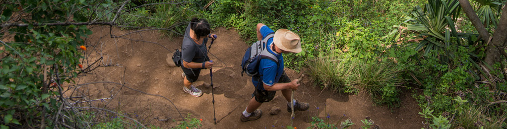
Nuʻalolo Trail
| Trail Length | 3.8 miles (one way) |
| Time | Approx 3 hrs. |
| Activity | Pedestrian |
| Difficulty | Difficult |
| Terrain | None |
| Elevation Gain | 1,566 ft |
| Park Name | Kōkeʻe State Park |
Route
The trail starts near the Kokee State Park Headquarters. This trail goes through the Kuia Natural Area Reserve before reaching the forest reserve. The trail ends at 2,234 ft. elevation at a U.S.G.S. survey marker titled “Lolo No. 2”. This trail is used mostly as an access route for hunters but also serves as an alternate route to the cross over Nuʻalolo Cliff Trail to Awaawapuhi Trail.
DANGER – Do not venture beyond the safety railings at the end of the trail! Footing is extremely unstable, and the drop to the valley floor below is over 2,000 feet. Equestrian use by hunters only. Do not use any trail or access road that is not delineated by name and color and that may also be displayed on these maps. The marked features are managed for public recreational use. Other trails or roads that branch off from the public features may be on private property, and are not managed for any public recreational use. Access is subject to adjacent landowner approval, and if used without authorization, you will be trespassing and possibly putting yourself at risk.
As of March 11, 2014, the Kauai recreational trail map is temporarily unavailable for distribution or purchase.
Activities
Facilities
Hazards
Prohibited
Area Weather Forecast

