**IMPORTANT PARK NOTICES**
Monitor local surf and weather reports prior to your park visit.
[KAUA’I] UPDATED - 7/25/24: Wailua River State Park, Opaekaa Falls restroom is CLOSED due to a water main break until further notice.
•
[KAUA’I] UPDATED 7/24/24 – Road to Kōkeʻe and Waimea Canyon State Parks has REOPENED.
•
[MAUI] UPDATED 7/24/24 – Polipoli Spring State Recreation Area: Access to the park and cabin has REOPENED.
•
[KAUAʻI] UPDATED 6/18/24 –Kalalau Trail, Nāpali Coast State Wilderness Park: Camping permits held back for local residents during summer, see Kalalau Trail site for more information.
•
[KAUAʻI] UPDATED 6/18/24 – Kōkeʻe State Park: The gate to Puʻu O Kila Lookout will be closed to vehicular traffic due to road repairs beginning 3/19/24. The lookout will still be accessible by pedestrians, parking is available at Kalalau lookout.
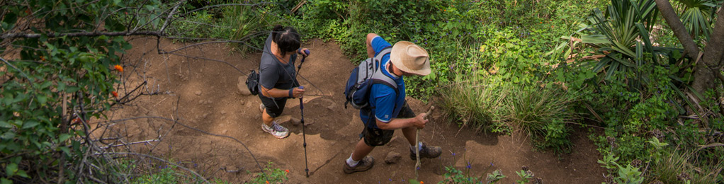
Polipoli Trail
| Trail Length | 0.6 miles |
| Activity | Pedestrian |
| Difficulty | Moderate |
| Terrain | Mountain Forest |
| Elevation Gain | 200 ft |
| Park Name | Polipoli Spring State Recreation Area |
Route
Trail begins at Polipoli Springs State Recreation Area and crosses on the contour of the Haleakala Ridge Trail. It passes through dense stands of cypress, cedars, and pines. It ends in an open grassy swale.
The Polipoli, Redwood, Plum and Haleakala Ridge Trails form a loop trail worth hiking (3.5 miles).
There are many other trails in the area, part of an extensive system administered by the State’s Trail and Access system, Nā Ala Hele.
Directions
From Kahului, take Highway 37 past Pukalani to the second junction of Highway 377. Turn left on 377 for about 0.3 mile, then right on Waipoli Road. This becomes Polipoli Access Road at the first cattle guard and climbs up the mountain through a long series of switchbacks until it enters the forest at 6,400′ elevation, where the pavement ends.
Additional Info
- Mountain biking is not allowed on this trail.
- Stay on the trail.
- Keep dogs on leash.
- Pack out at least what you pack in.
- No open fires.
- Wear bright clothing.
- Be aware that you may encounter hunters who are hunting off the trail.
Activities
Facilities
Hazards
Prohibited
Area Weather Forecast
