**IMPORTANT PARK NOTICES**
Monitor weather reports before your park visit.
• [O‘AHU] UPDATE 12/13/25 — He’eia State Park: Park is CLOSED due to hazardous conditions.
•
[ALL ISLANDS] UPDATE – 12/12/25: Camping - Reservations for February 1, 2026 and beyond available at https://explore.ehawaii.gov, please create an account on Explore Outdoor Hawaiʻi to make a camping reservation.
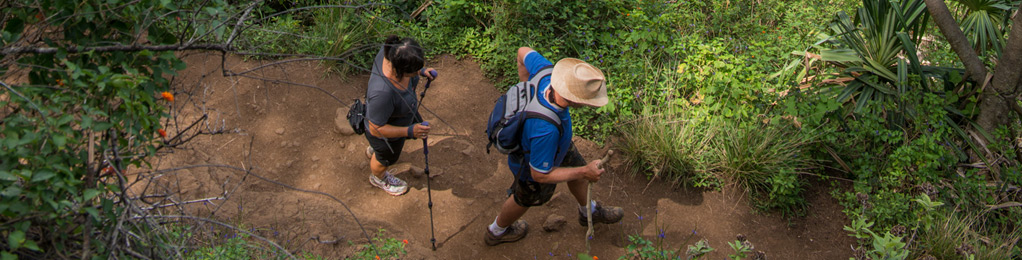
ʻIao Needle Lookout Trail and Ethnobotanical Loop
UPDATE: 5/1/23 – ʻIao Valley State Monument has REOPENED.
•
*Advance reservations are required for out-of-State residents. Reservations can be made at https://gostateparks.hawaii.gov.
•
**Hawai‘i residents with a valid driver’s license or State ID, continue to get into all State Parks free of charge.
| Trail Length | 0.6 miles |
| Activity | Pedestrian |
| Difficulty | Easy |
| Terrain | Wet Valley |
| Elevation Gain | 200 ft |
| Park Name | ‘Iao Valley State Monument |
Description
A paved walking trail provides a scenic viewpoint of Kuka’emoku (‘Iao Needle), an erosional feature which rises 1200 feet from the valley floor. A short paved loop trail meanders though an ethnobotanical garden adjacent to ‘Iao stream.
Route
Trail begins just beyond the park restroom and interpretive signs. The path crosses a bridge over the stream and climbs to the lookout point, where a small shelter is nestled.
Directions
End of ‘Iao Valley Road (Highway 32), ‘Iao Valley.
Additional Info
- Mountain biking is not allowed on this trail.
- Stay on the trail.
- No dogs allowed on this trail.
Activities
Facilities
Hazards
Prohibited
Area Weather Forecast

