Maps & Illustrations
General
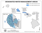
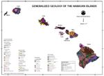
Statewide
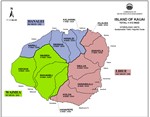
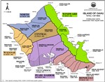
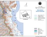
Kauai
 |
Oahu
 |
 |
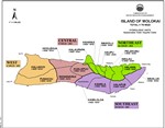
Molokai
 |
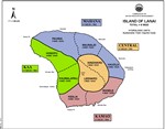
Lanai
 |
Maui
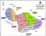 |
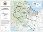 |
Hawaii
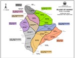 |
GIS Data
Ground (Aquifers) and Surface Water (Watershed) Hydrologic Unit Data layers used by the Commission on Water Resource Management may be viewed and downloaded from the Hawaii Statewide GIS Program, Office of Planning and Sustainable Development. Click on the links below to access data layers on the Geospatial Data Portal.
- Ground Water Hydrologic Units (DLNR Aquifers)
- Surface Water Hydrologic Units (Watersheds)