11/12/24 – Fish and Habitat Utilization Surveys in Maunalua Bay
This month, the Oʻahu DAR monitoring team began implementing Fish and Habitat Utilization (FAHU) surveys in Maunalua Bay. FAHU surveys consist of a 25-meter belt fish transect paired with benthic images at every meter mark. The benthic images are later used to evaluate benthic community composition. This method is used to monitor marine ecosystems to better inform management decisions. The surveys this month will establish a baseline for the proposed fishery management area in Maunalua Bay. Transitioning to the FAHU method on Oʻahu will homogenize DAR’s monitoring methods and allow statewide comparisons of Hawaiʻi’s marine ecosystems.
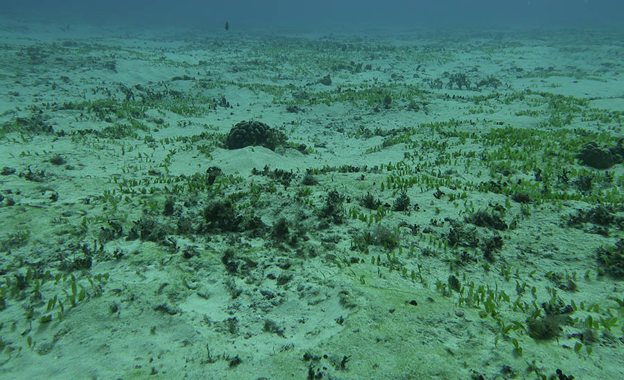
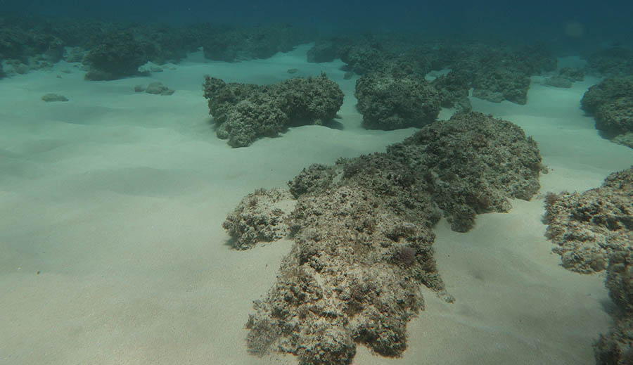
Examples of habitats in the bay are shown below.


