06/09/22 – HAWAIʻI TREE CANOPY VIEWER NOW AVAILABLE
Posted on Jun 9, 2022 in Forestry & Wildlife, News Releases, slider| DAVID Y. IGE GOVERNOR |
SUZANNE D. CASE
CHAIRPERSON |
For Immediate News Release: June 9, 2022
KAULUNANI URBAN AND COMMUNITY FORESTRY PROGRAM
ANNOUNCES HAWAIʻI TREE CANOPY VIEWER
Assists Communities in Understanding Community Services from Trees
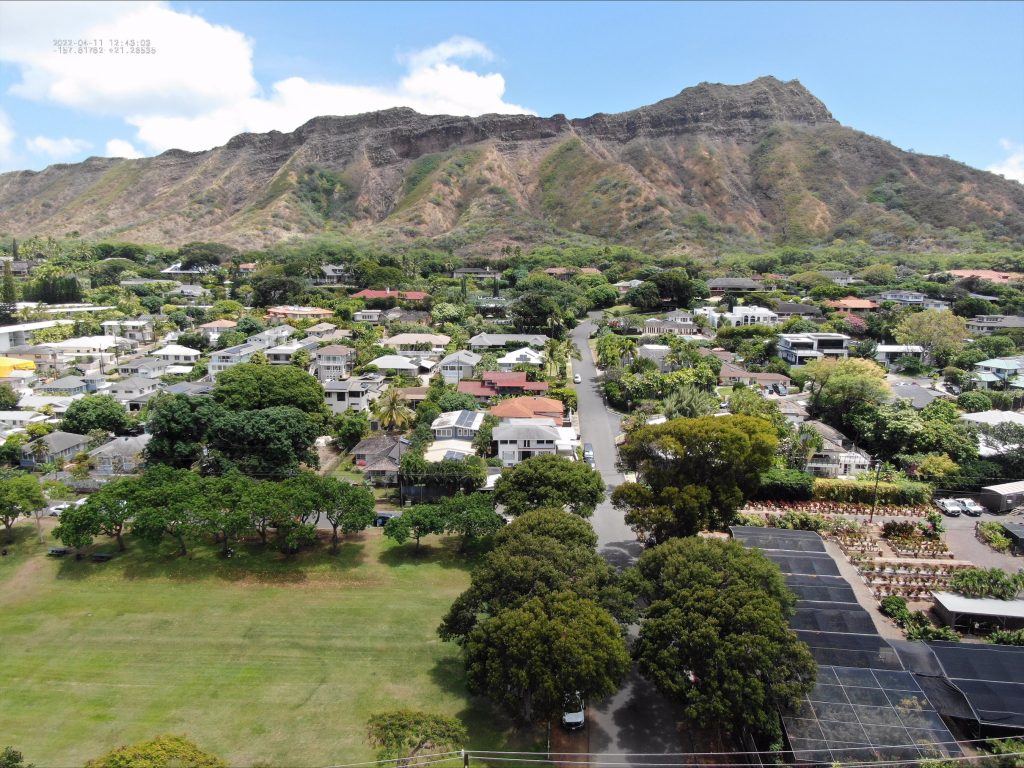
(Honolulu) — The first tree canopy viewer is now available in Hawaiʻi for communities to use to explore tree resources and make management decisions. The interactive viewer shows the extent and location of the tree canopy across the state.
This will help local leaders prioritize locations for tree planting, develop urban forestry master plans, and manage threats to canopy loss. The interactive website is provided by the USDA Forest Service and the Kaulunani Urban & Community Forestry Program at the DLNR’s Division of Forestry and Wildlife (DOFAW).
Canopy cover is a driving force behind numerous environmental, social, and economic benefits such as reducing peak temperatures, improving air quality, increasing stormwater absorption, and providing wildlife habitats.
“Trees are vital infrastructure that make our communities more livable, loveable, and resilient,” DOFAW Urban and Community Forester Heather McMillen said. “Being able to clearly communicate where we need to focus our efforts to expand tree canopy will be critical as we work with community leaders and policy makers to use infrastructure funding for the greatest good, not only for now but for future generations.”
“We see the urban tree canopy viewer as a vital equity tool,” Pacific Southwest Region Forester Jennifer Eberlien said. “The viewer allows people to freely access statewide tree canopy layer and help identify communities disproportionately burdened by risks that urban tree cover may help alleviate.”
The tree canopy layer in the viewer is made possible through the partnership and technical expertise of the National Oceanic and Atmospheric Administration (NOAA) Office for Coastal Management. “I’m excited about this work,” Nate Herold, head of NOAA’s coastal land cover program said. “Not only did we provide a superior product that will be used to have an impact related to tree cover and equity, but because of the partnership approach between NOAA, the state, and the U.S. Forest Service, we were able to produce the data faster, cheaper, and better than any of us could have otherwise and with no duplication of effort.”
NOAA will use this data to update the agency’s Coastal Change Analysis Program, which provides Hawaiʻi with additional data on impervious cover, wetlands, and changes over time.
The viewer’s tree canopy layer uses one-meter resolution from Light Detection and Ranging (LiDAR) and Maxar Vivid imagery compiled up to 2020 under a contract with EarthDefine. Other layers in the viewer highlight related socioeconomic, geographic and environmental characteristics.
Fellowships will be offered to support research that uses the Hawai‘i tree canopy viewer and data to contribute to the mission and purpose of Kaulunani, as well as contribute to the goals of the Hawai‘i Forest Action Plan.
# # #
Viewer is available here: https://www.fs.usda.gov/detailfull/r5/communityforests/?cid=fseprd995876
Media Contact:
Madison Rice
Communications Specialist
Hawai’i Department of Land and Natural Resources
[email protected]