


</span><br /><span class=\"s_readmore\">Read More<i class=\"icon-signin\"></i></span></a>")


Home
Aloha from Forestry & Wildlife
Our mission is to protect, manage, and restore natural and cultural resources in collaboration with the people of Hawaiʻi. We envision a future with thriving native ecosystems and opportunities for the people of Hawaiʻi to engage with nature. E mālama kākou i ka ʻāina!
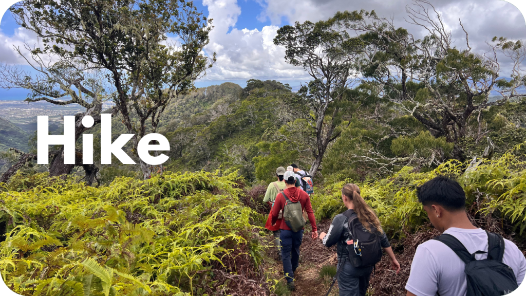
Explore Outdoors
To find resources near you, use the web map at the bottom of this page.

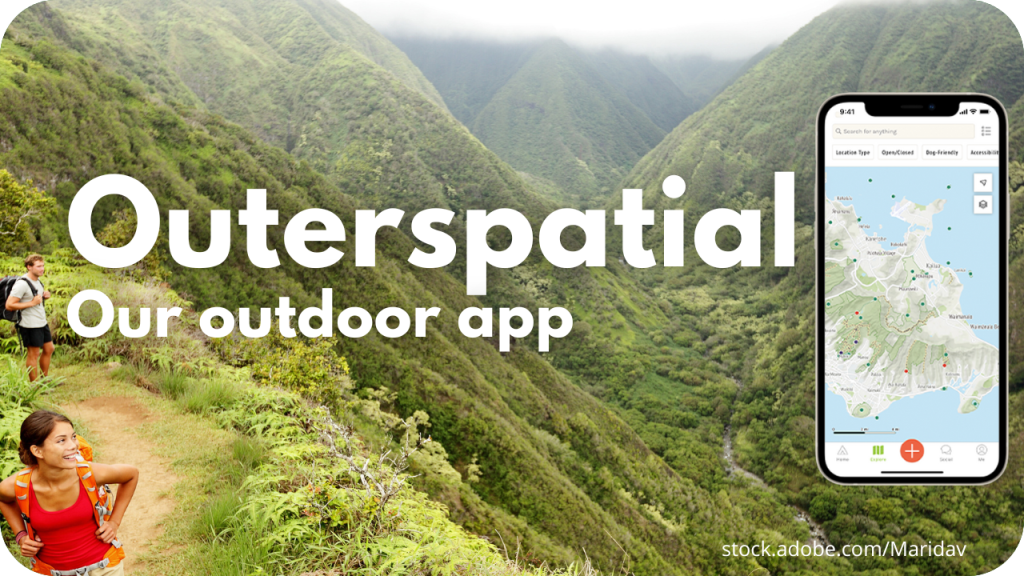

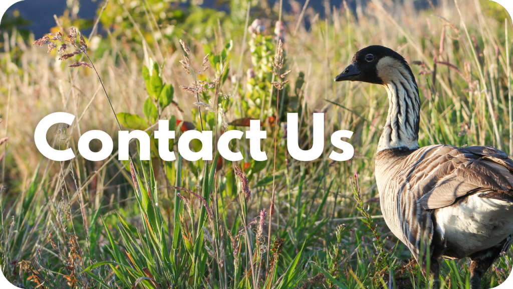
Connect with Us

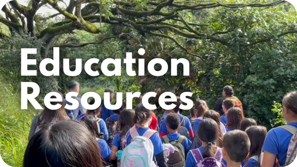
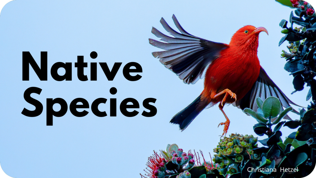
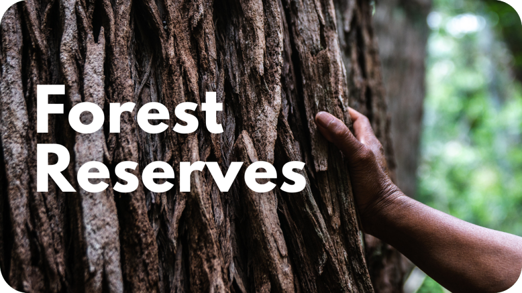
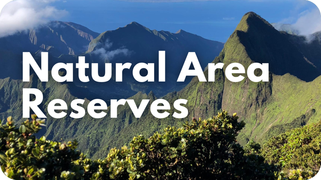
Learn About Hawaiʻi’s Species and Protected Areas

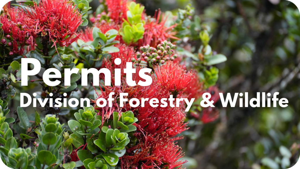
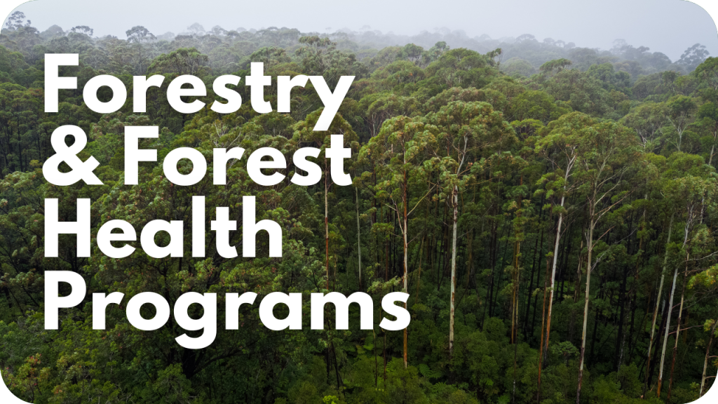
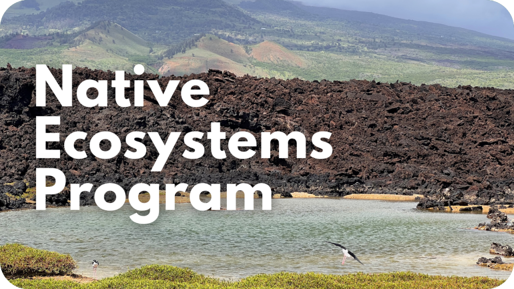
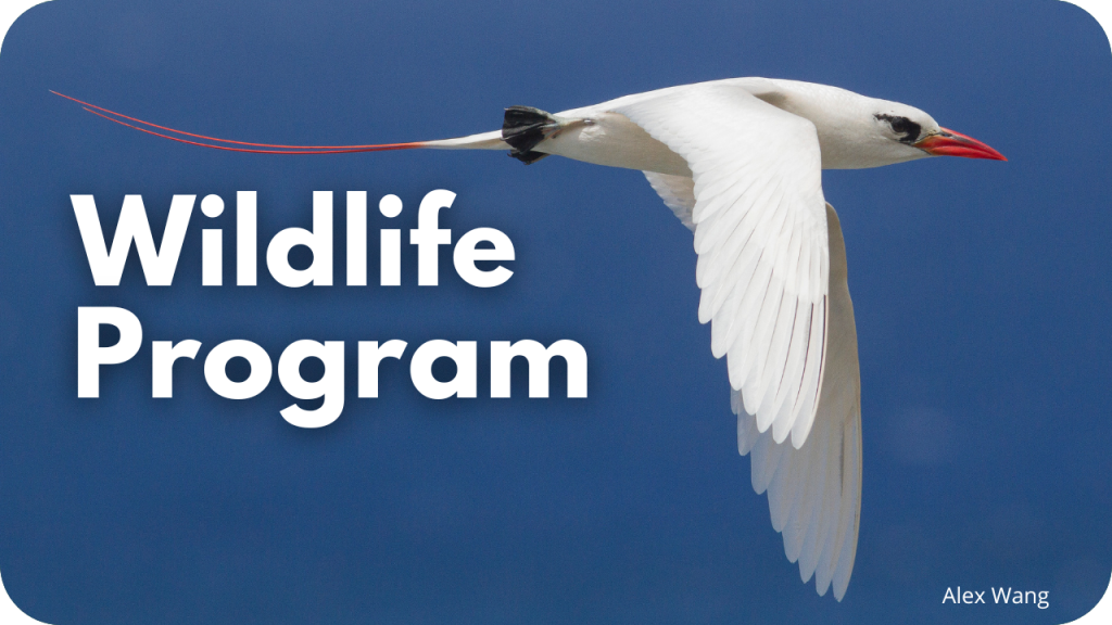
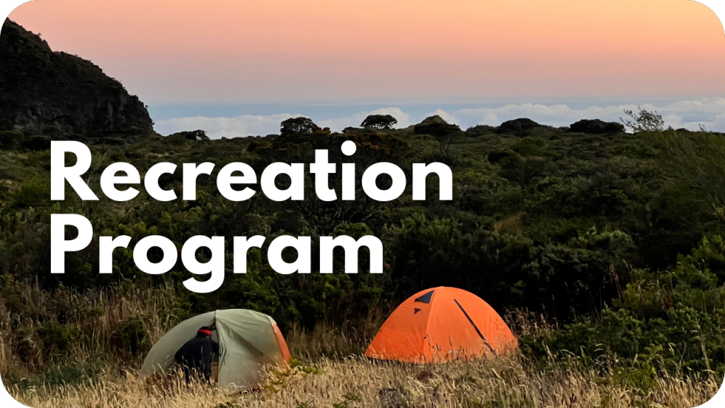
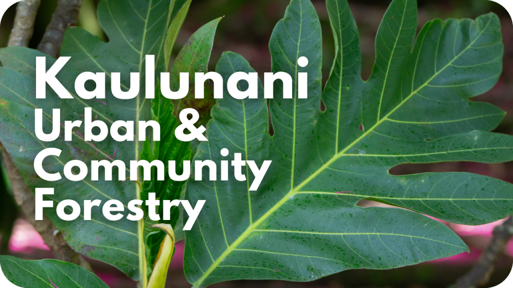
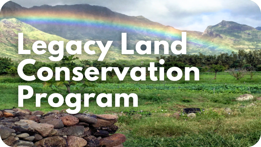
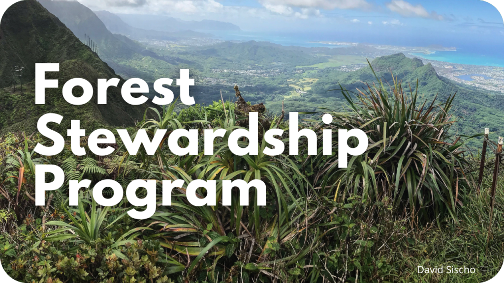
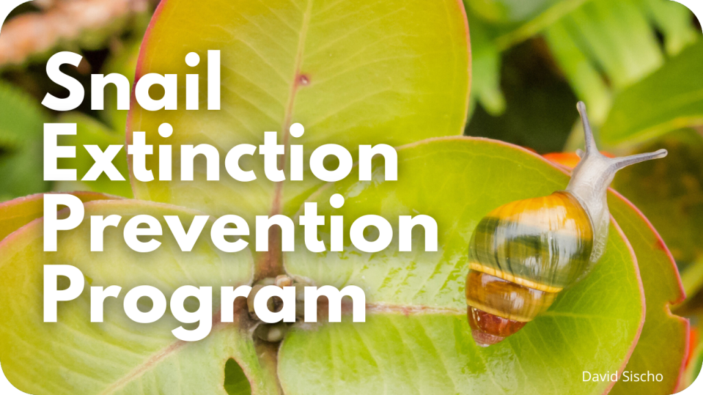
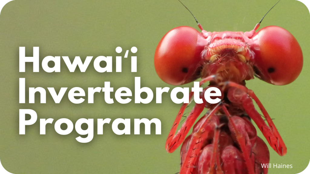
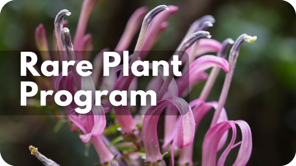
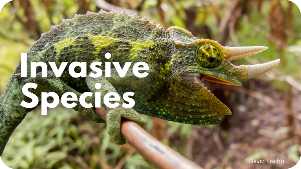
Our Program Areas
For a full list, use the Programs menu at the top of this page.

News Releases
- 5/28/26 – COMMUNITY INPUT INVITED FOR KOHALA FOREST PROTECTION
- 5/26/26 – VIRTUAL VISITS TO REMOTE SEABIRD SANCTUARIES OFFERED IN “THE YEAR OF OUR COASTAL KULEANA”
- 5/26/26 – COMMUNITY INVITED TO NĀ ALA HELE PROGRAM PLAN MEETING WEDNESDAY, MAY 27, 2026
- 5/22/26 – JOIN THE STATEWIDE “MAKAHIKI KULEANA KAHAKAI” COASTAL RESTORATION DAY ON JUNE 6
- 5/21/26 – COMMUNITY INPUT INVITED FOR NĀ ALA HELE PROGRAM PLAN
- 5/21/26 – AXIS DEER IMPACT SURVEY FOR MAUI, MOLOKA‘I, LĀNA‘I
- 5/13/26 – TEMPORARY CLOSURE OF POLOLŪ TRAIL, LOOKOUT AND PARKING AREA
- 5/11/26 – TEMPORARY MORNING CLOSURES FOR MAKAPUʻU POINT LIGHTHOUSE TRAIL
- 5/7/26 – HAWAIʻI INVASIVE SPECIES AWARENESS MONTH 2026
- 4/29/26 – MORE TREES COMING TO HAWAIʻI SCHOOL CAMPUSES