5/25/23 – DAR Invasive Species team completes surveys of Kaneʻohe Bay
The Aquatic Invasive Species Team spent the majority of March and April conducting annual reef surveys as part of the R.V. Cape Flattery Settlement Restoration Project in Kāneʻohe Bay. These SNAP surveys serve as a “snapshot” of the distribution and abundance of coral and invasive algae on patch and fringing reefs in Kāneʻohe Bay. Invasive algae, like smothering seaweed (Eucheuma spp./Kappaphycus spp.), gorilla ogo (Gracilaria salicornia), and prickly seaweed (Acanthophora spicifera), threaten Hawaiian coral reefs by smothering coral and degrading essential habitat.
To quantify coral and invasive algal cover, surveyors line up 5-10 m apart and swim along the reef, stopping every 5-10 m to haphazardly throw a half-meter measuring stick. The surveyor records the benthic habitat under the stick, as well as any invasive algae present. Survey data are then used to create maps of the distribution and abundance of coral and invasive algae for each monitored reef in Kāneʻohe Bay.
Results from reef surveys are used to prioritize reefs for urchin biocontrol where invasive algae are threatening coral resources. Invasive algal cover data from SNAP surveys are used to prioritize reefs for urchin biocontrol and to calculate the number of juvenile Hawaiian collector urchins (Tripneustes gratilla) to outplant to each surveyed reef. Snorkelers take trays of urchins grown at the DAR Urchin Hatchery and outplant them directly onto invasive algae to reduce overgrowth of corals on each managed reef. This process of monitoring and urchin biocontrol occurs each year to account for changes in invasive algal abundance in Kāneʻohe Bay through time.
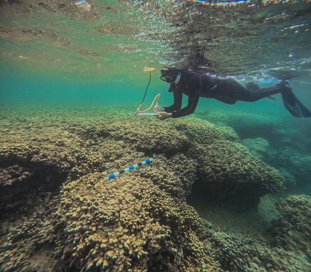
DAR biologist Kim Fuller taking a point during a survey of reef P3 in Kāneʻohe Bay.
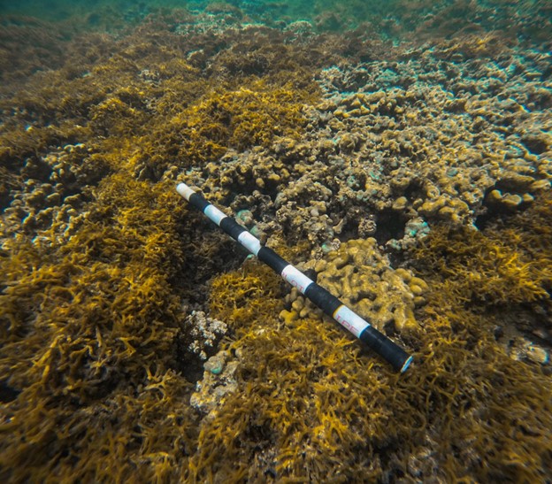
A SNAP (half-meter measuring) stick under which benthic data is recorded at each point.
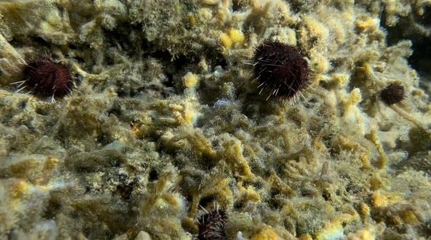
Collector urchins (Tripneustes gratilla) grazing gorilla ogo (Gracilaria salicornia).