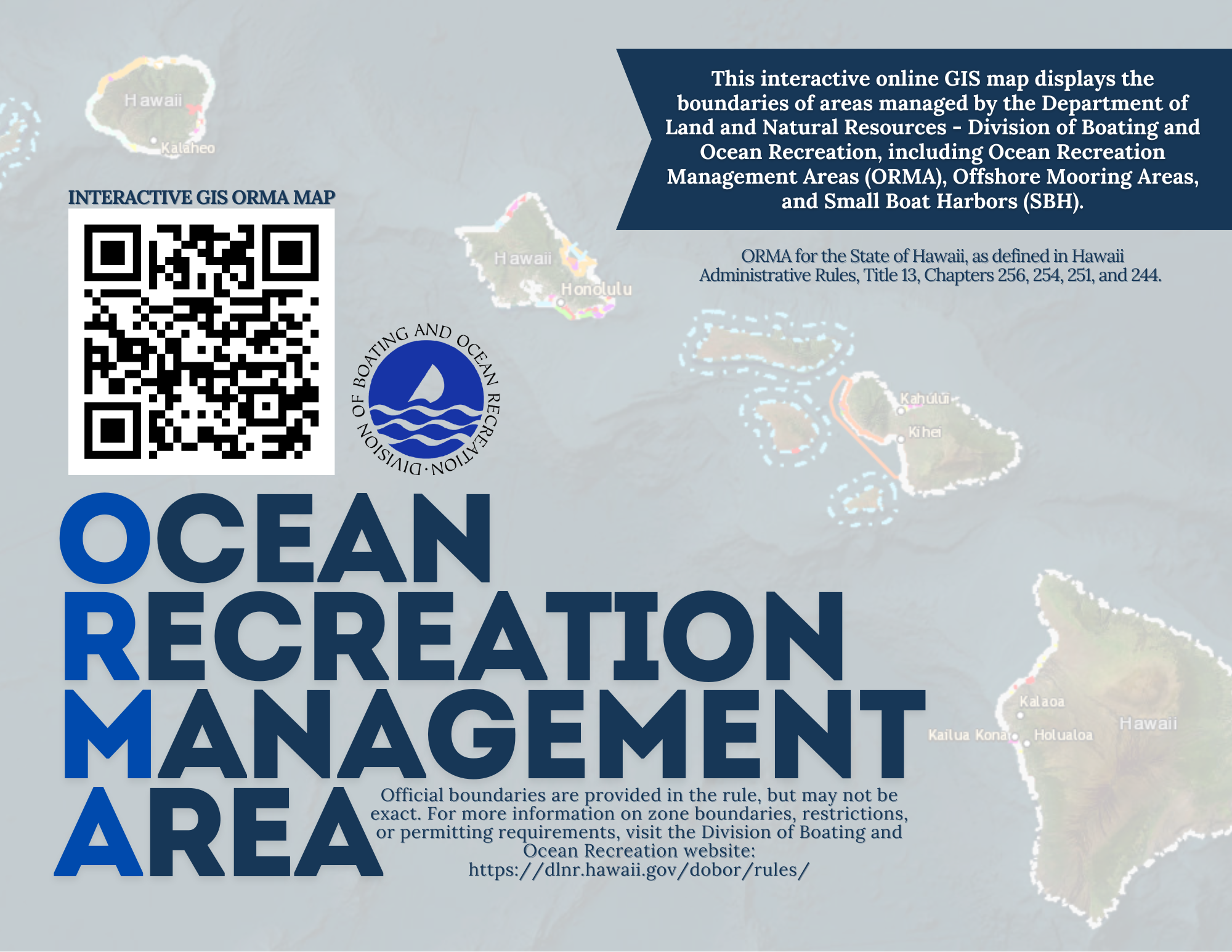
Ocean Zones Map – ORMA
With the complex legal rules it is helpful to have visual aid to best understand the different zones in our special waters. Many areas have limitations, such as speed restrictions or prohibitions on vessels entirety. That’s why it is best to understand the rules in the area before you go out, to prevent any chance of fines or being stopped while enjoying your time on the water.
What is an ORMA?
What is an ORMA? An ORMA stands for “Ocean Recreation Management Area” it designates areas with more specialized zones inside, such as no vessels, or thrill craft zones. They are established within the Hawaii Administrative Rules, or HAR. These areas surround our islands and are important to allowing all of us to enjoy the use of the waters without detrimentally impacting others enjoyment.
Below is a link to visual representations of the ORMAs in the state of Hawaii. This interactive map is best viewed on a computer or ipad.
Tips and tricks for using the Map, click the arrows to see more.
Here are a few features that may help you.
Change the look of the map (Basemap)
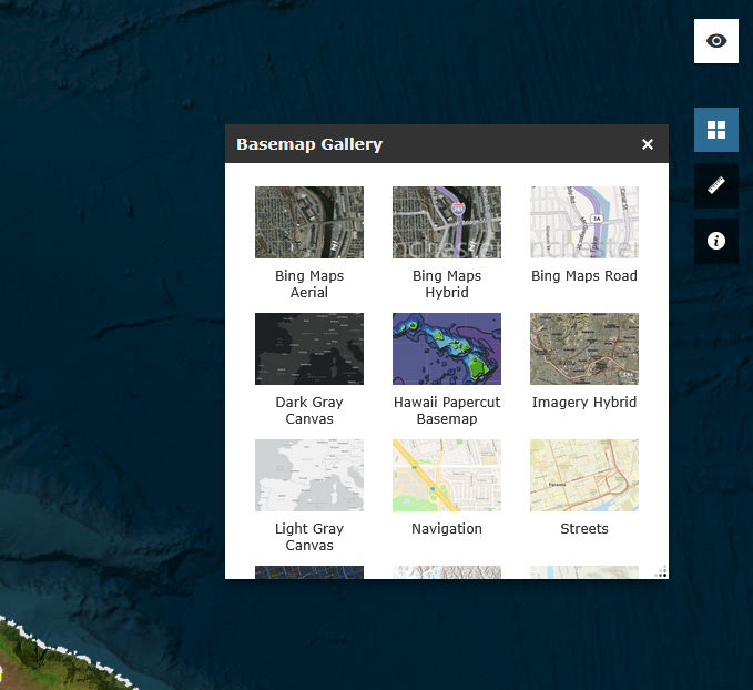
The basemap can be changed with the little grid found in the upper right hand menu.
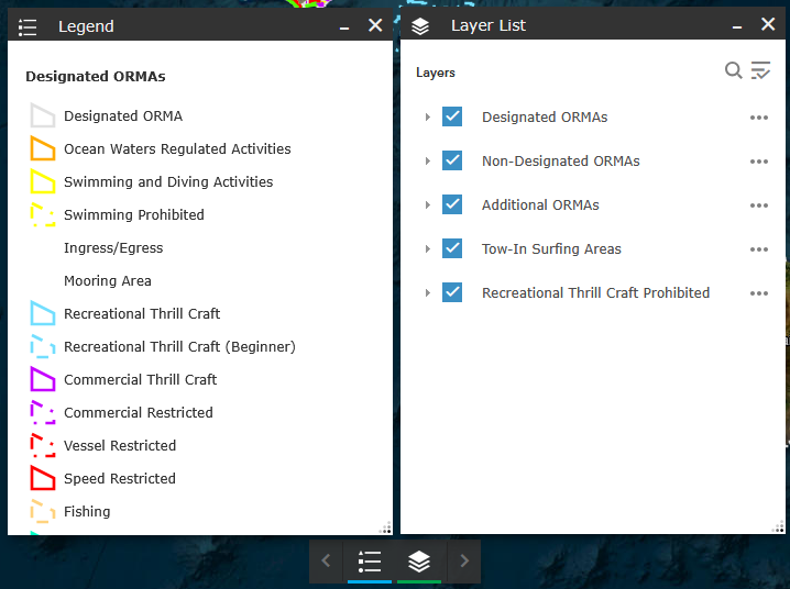
Change what you see (Legend and Layer list)
The legend and layer list can be found at the bottom center of the screen. From the layer list, you can toggle which ORMAs you wish to see on the map.
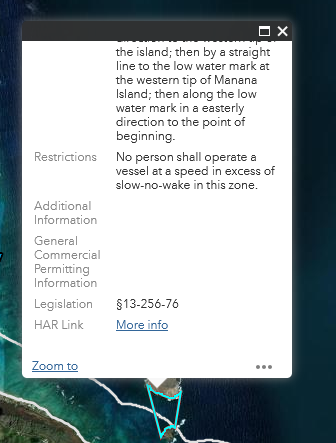
See where in the rules the ORMAs are described (Attribute table)
If you click on an ORMA you can scroll through the description of the limitations of the area and it will show the HAR section (the section of the rules). You can also click on the attribute table located in the bottom right corner for the same details.