Moloka‘i Natural Area Reserves
Click on a reserve to learn more, or view a webmap displaying locations of the reserves.
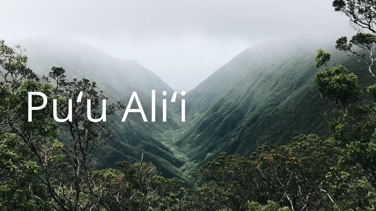 |
Pu‘u Ali‘i: This reserve is located in the mountains of northern Moloka‘i. It is a wet summit plateau inhabited by wet forests, mixed fern and shrub montane cliff communities, and wet shrublands, and Hawaiian intermittent stream communities. Pu‘u Ali‘i reserve is an important part of the Moloka‘i watershed and contains forest bird habitat. |
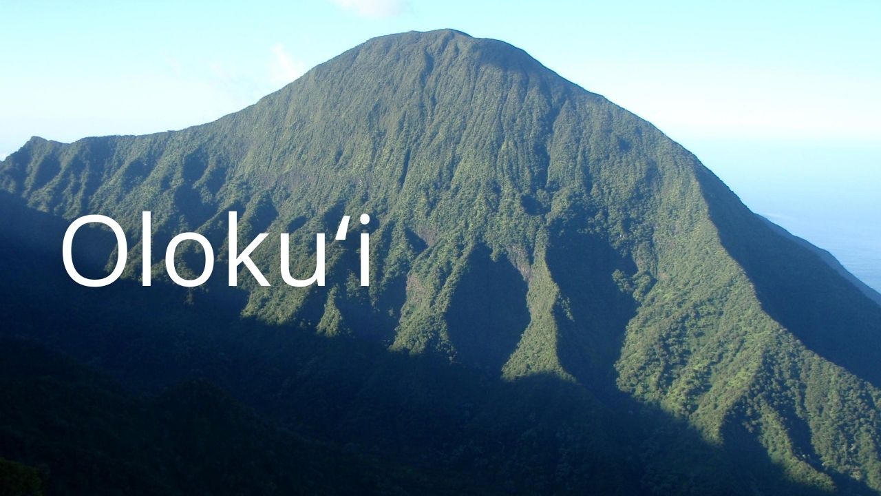 |
Oloku‘i: Oloku‘i encompasses an isolated, cloud-shrouded mountain plateau with slopes extending down to sea cliffs. The reserve is one of the few areas left undisturbed by feral ungulates. It contains wet and dry ecosystems and coastal dry grasslands. Lowland and montane wet and mesic forests are also represented. A 1989 survey of this pristine area confirmed the presence of rare snails. |
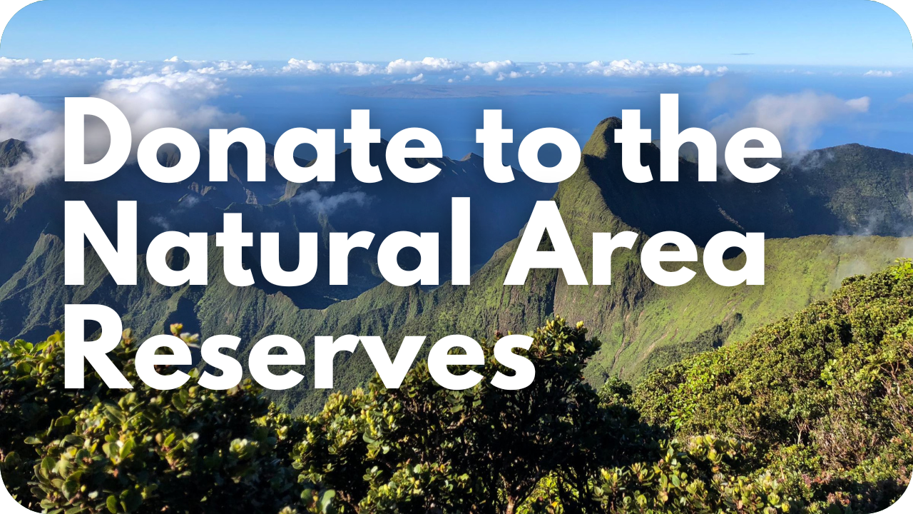
You can donate online to the management of the Natural Area Reserves System. Donations go toward on-the-ground management actions such as planting trees, removing invasive plants, and removing hooved animals and predators.
It takes people like you to continue the work of defending our beautiful land and natural resources, as well as reaching Hawaiʻi’s 30 by 30 conservation goal. The goal includes protecting 30% of the islands’ critical watersheds by 2030. Many of these critical watershed forests fall within the NAR system. Join us by donating today to protect the sources of nourishment and beauty around us, including, the water we use and drink!
Map
If the embedded web map below doesn’t display properly, open the map in a new browser page.