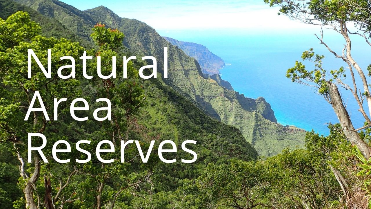
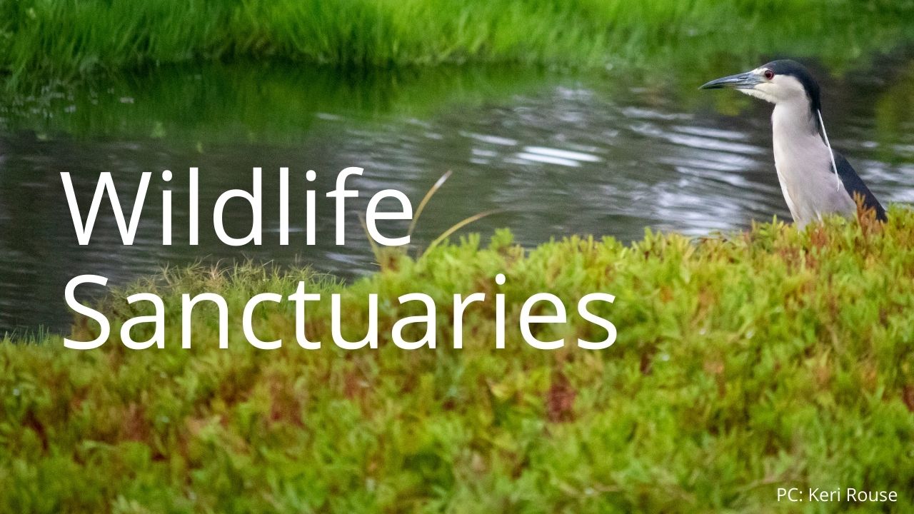
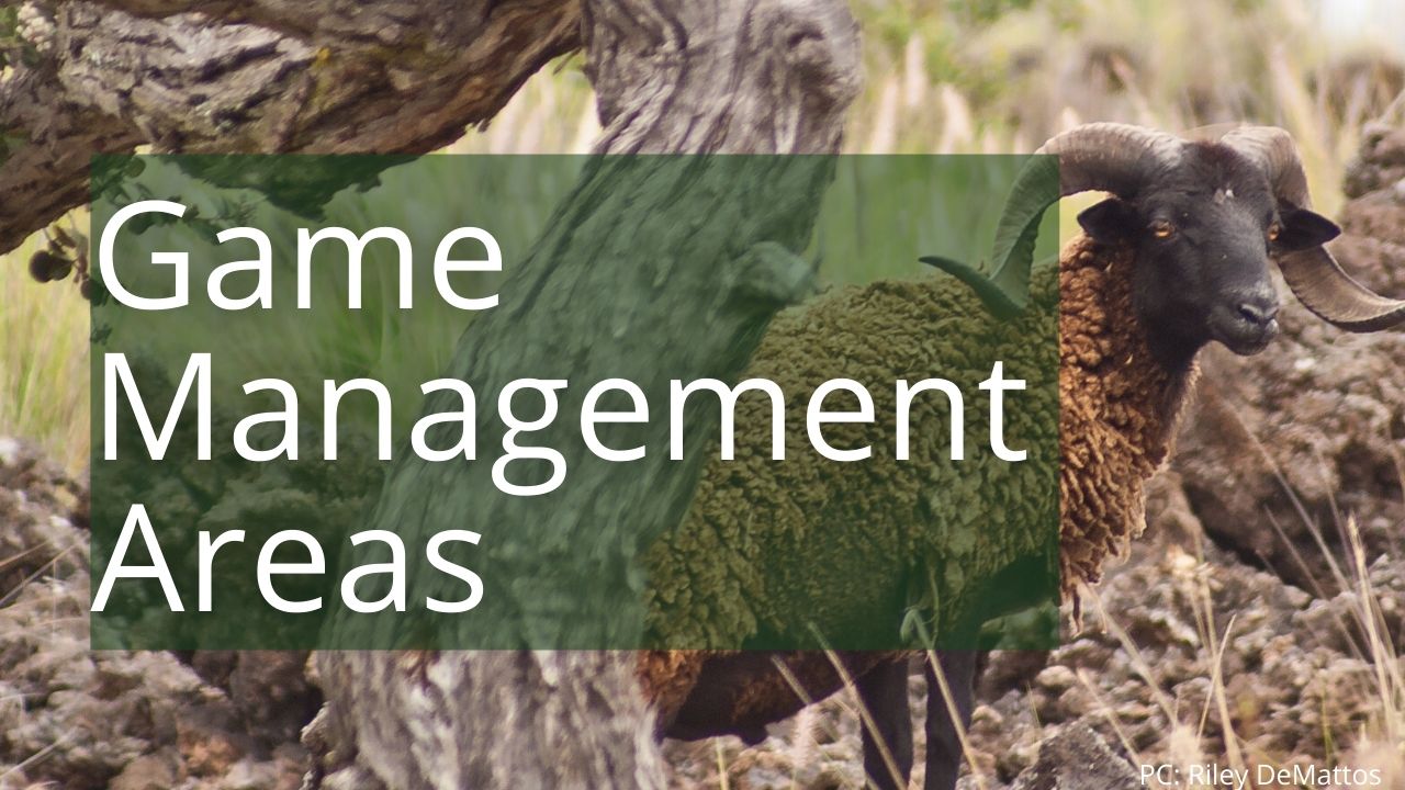
Lands & Management Classifications

The Division of Forestry and Wildlife manages over a million acres across Hawaiʻi, which is roughly 25% of the land area in the state. To manage different types of lands for different purposes, the State designates the lands we manage as Forest Reserves, Natural Area Reserves, Wildlife Sanctuaries, Game Management Areas, and more. You can use the links below to learn about each type of designation and find pages about specific areas.
Alternatively, you can use the web map below to explore lands on the main Hawaiian Islands that are managed by Forestry and Wildlife on behalf of the public. Click on any parcel to open a pop-up with its name and information. If we have a web page for that parcel, a link will appear in the pop-up under “Area Webpage.” Click on any reserve or trail for more information. If the web map does not display properly, try opening it fullscreen.
Management Classifications
DOFAW has a broad mandate to enhance, protect, conserve and manage natural and cultural resources, and to promote forest products development, recreational hunting, hiking, and other activities. The lands we manage are varied in their resources and potential uses: some lands may be best suited for native species management or habitat restoration, while other lands may be better suited for forest products management or for recreational use. Forestry & Wildlife staff have developed a set of management classifications to help guide discussions about the most appropriate management goals for a given area. Based on resources and potential uses, DOFAW-managed areas across the state have been identified as being high (1) to low (4) priority for management activities in the areas below. You can click on any of the management classification types to see the details of what constitutes a high or lower priority score within that management type.
Expand the sections below to learn about the classification systems DOFAW uses to discuss management priorities across different land use types. Each section contains a rubric detailing classification metrics, and a statewide map featuring that classification.
Conservation Management Classifications
| Class Name |
Class Definition |
Management Strategy |
|
C-1: High Conservation Resources
|
- High level of native biological resources, native ecosystem intactness, and/or recovery potential;
- Essential to the conservation and/or recovery of native species;
- Important restoration areas, such as rare ecosystem remnants, native wildlife habitat, wetlands, and offshore islands;
- High degree of conservation related regulatory encumbrances – critical habitat, restricted watershed, conservation easements and/or zoning;
- High watershed conservation value per CWRM, USGS, BWS, and/or DOFAW.
|
- Intensive management applied, as necessary, to protect watershed values, and native species and ecosystems, as resources permit;
- Management may include animal exclusion fencing, predator control, vegetation/weed control;
- Work may include out-planting of native vegetation and reintroduction of native wildlife, as needed.
|
|
C-2: Medium Conservation Resources
|
- Moderate level of native biological diversity and/or native ecosystem intactness;
- Contributes to the conservation and/or recovery of native species (i.e. T&E / native species habitat, water resources);
- Medium degree of conservation related regulatory encumbrances;
- Medium watershed conservation value.
|
- Management activities to control priority threats and improve watershed, native species or ecosystem outcomes;
- Work may include out-planting of native vegetation and reintroduction of native wildlife, as needed.
- Other uses may include forest products gathering, hiking, and liberal hunting.
|
|
C-3: Low Conservation Resources
|
- Low level of native biological diversity and/or native ecosystem intactness;
- Low conservation and/or recovery of native species but may contribute to conservation (i.e. individual or small clusters of rare plants; genetic collection);
- Low degree of conservation related regulatory encumbrances;
- May have low watershed conservation value.
|
- Native species management occurs mostly in remnant patches and fenced units;
- Mixed use area with forest products gathering, hunting and non-hunting recreation, as appropriate.
|
|
C-4: Little to No Conservation Resources
|
- Little to no native biological diversity and/or native ecosystems highly degraded or absent;
- Little to no contribution to the conservation and/or recovery of native species;
- Very little or no conservation related regulatory encumbrances;
- May have low watershed conservation value.
|
- Area managed for a variety of uses not appropriate for more pristine environments, including timber harvest, regulated hunting and more intensive non-hunting recreation (hiking, equestrian and/or off-road vehicles).
|
Forest Product Management Classifications
| Class Name |
Class Definition |
Management Strategy |
|
F-1: Large Scale Commercial
|
- Forest products are a primary objective, and large scale sustainable commercial timber harvesting or salvage is allowed;
- Permits, licenses and environmental compliance are required;
- Harvesting of non-timber forest products is allowed.
|
- Produce a sustainable timber supply in balance with other resource management objectives;
- Activities may include site preparation, tree-planting, thinning operations, forest stand improvement and large-scale timber harvest;
- Timber management plans are required to mitigate non-timber resource impacts, and assure sustainable yield and positive impact forestry.
|
|
F-2: Small Scale Commercial
|
- Areas where limited commercial timber harvesting or salvage is allowed in balance with other land uses;
- Required permits, licenses and environmental compliance depend on scope and scale of operations;
- Harvesting of non-timber forest products may be allowed.
|
- To produce a sustainable supply of forest products while minimizing other resource impacts;
- Activities may include site preparation, tree-planting, thinning operations, forest stand improvement and small-scale timber harvest;
- Impacts of harvesting distributed over the resource area through controlled seasons and harvest;
- Timber management plans are required to mitigate non-timber resource impacts, and assure sustainable yield and positive impact forestry;
- Forest management activities performed in coordination with other resource management activities
|
|
F-3: Personal Use
|
- Areas where selective non-commercial timber harvesting and targeted commercial timber salvage is allowed in balance with other land use objectives;
- Permits for harvest of non-timber products issued on a case by case basis.
|
- Limited timber harvest performed as appropriate to bring materials to local market, and produce other positive resource outcomes;
- Minimize human impacts to native species and native ecosystems;
- Accommodate harvest of forest products for sustainable personal use.
|
|
F-4: Restricted
|
- Harvesting of timber only considered if activity improves other priority resource outcomes;
- Permits for harvest of non-timber forest products will be considered on a case by case basis for research and education, improving forest science and health, watershed protection, traditional and customary practices, and conservation efforts
|
- Resource protection is the top priority;
- Prioritize protection of native species and native ecosystems;
- Permitted activities in these areas are minimally disruptive, and focused on improving forest and watershed health, native ecosystems, and other conservation efforts.
|
Hunting Management Classifications
| Class Name |
Class Definition |
Management Strategy |
| H-1: Active Hunting Management |
- Public hunting is a high priority land use; Area is suitable for a high degree of active management for public hunting.
- Management of the area is designed to provide maximum sustained yield of game animals.
|
- Hunting regulations for the area are designed to provide maximum sustained yield while minimizing environmental impacts.
- High degree of management to maintain or improve hunting program infrastructure.
- Habitat is managed to maintain or increase game animal carrying capacity, while maintaining healthy vegetative cover for proper range management and erosion control.
|
| H-2: Moderate Hunting Management |
- Area is suitable for a moderate degree of active management for animal enhancement and habitat management to increase animal productivity for public hunting.
- Public hunting opportunities may be improved or maximized.
- Public hunting is balanced with other objectives.
|
- Hunting regulations established to manage animal harvest.
- Moderate degree of infrastructure for animal management.
- Habitat modification for game animal production as appropriate for the area.
- Balance animal impacts with other resources.
|
| H-3: Low Intensity Hunting Management |
- Area not suitable for game enhancement and habitat management to increase animal densities – hunters play an important role in limiting animal impacts
- Minimal public hunting restrictions provide maximum public hunting opportunity.
- Public hunting management includes maintaining access and monitoring hunter effort and success.
|
- Hunting seasons, bag limits and other hunting regulations liberalized to maximize hunting opportunity.
- Hunting opportunities may include permitted hunts if needed to improve access.
- No habitat modification for production and/or enhancement of game animals.
|
| H-4: No Hunting Management |
- Area is not suitable for open public hunting due to environmental sensitivity, access, or safety.
- No active management for public hunting; public hunting may be used for animal damage control on a permit basis.
- Public hunting is not a primary land management objective.
|
- Area not open to regular public hunting seasons for either management, access or safety reasons.
- Animal control to be conducted by staff, permitted and/or guided hunters, and other cooperators as appropriate.
|
The map below shows hunting management classifications statewide for game birds, and for game mammals the map shows classifications on all main islands except Hawaiʻi Island. Contact the Hawaiʻi Island DOFAW office for more information.
Recreation Management Classifications
| Class Name |
Class Definition: |
Management Strategy |
|
R-1: High Recreation Management
|
- Areas where outdoor recreation is a primary objective;
- High level of visitor use is received and accommodated;
- May include recreation, transit and/or urban elements;
- Approximate average daily use: 100 – 1000+ users.
|
- Area can sustain heavy recreational use; recreation plays a major role in use of the area;
- Trails maintained to sustain heavy use which may include hiking, mountain bike riding, equestrian and/or off-road vehicle use;
- Improvements commensurate with use.
|
|
R-2: Medium Recreation Management
|
- Areas where outdoor recreation is of moderate intensity, and may be integrated with other uses;
- Includes a wide range of trails and roads requiring a moderate level of management and maintenance to meet user needs and balance other land use objectives;
- Approximate average daily use: 0 – 500 (+/-) users.
|
- Area can sustain moderate recreational use; recreation integrated with other management programs;
- Roads and trails maintained to sustain moderate use which may include hiking, mountain bike riding, equestrian, and/or off-road vehicle improvements;
- Improvements commensurate with use.
|
|
R-3: Low Recreation Management
|
- Areas where outdoor recreation is of low intensity, and is integrated with other uses;
- Trails and roads that receive limited use, or whose character and terrain require little maintenance relative to the usage;
- Approximate average daily use: 0 – 100 (+/-).
|
- Areas may be inaccessible or remote; facilities and improvements are limited, in keeping with the level of use;
- Areas may be managed for multiple uses including forest protection, conservation, hunting, and hiking, or protected and managed to preserve natural conditions; activities may include hiking, biking, equestrian and/or off-road vehicles;
- To protect both the trail environment and experience, improvements are typically minimal, and designed to fit the setting and need.
|
|
R-4: Recreation Management (Restricted access)
|
- Areas where outdoor recreation is restricted or controlled;
- Areas sensitive to human disturbance due to natural, cultural or archaeological features;
- Access primarily for management purposes, and/or limited or programmatic recreational or educational uses.
|
- Areas may be classified “restricted” due to hazardous conditions, watershed protection, sensitive wildlife, fragile ecosystems, cultural resources, limited accessibility, or management practices incompatible with recreational activities;
- Managed to limit impacts from human activities;
- Facilities and improvements are very limited and generally associated resource management;
- Trails will not feature extensive recreational amenities and will generally incorporate only facilities necessary to protect and manage the resource;
- Access may be controlled via permits, group number limitations, or other restrictions as appropriate for the area.
|
Vegetation Resource Management Classifications
| Class Name |
Class Definition |
|
V-1: Highest Quality Native Vegetation
|
These areas consist of the highest quality native ecosystems and communities. They have minimal disturbance, with low levels (less than 10%) of non-native plants in any vegetative layer (91-100% native plant cover).
|
|
V-2: Predominantly Native Areas
|
Areas in which native plants predominate in communities that are relatively intact, and are minimally disturbed. They have a significant component of non-native plants (51-90% native plant cover).
|
|
V-3: Considerably Degraded Native Vegetation Cover:
|
Areas have a considerable amount of disturbance to native vegetation. Non-native plants may predominate, however there may be pockets of remaining native plant communities (11-50% native plant cover).
|
|
V-4: Heavily Degraded Areas
|
Areas where the native vegetation is severely degraded or highly altered from its natural state. There may be areas of severe erosion, former pasture or crop lands, forest plantations, areas of non-native grass or brush resulting from fires or intensive grazing. (0-10% native plant cover).
|