Oʻahu Trails & Access

Oʻahu is the most populous of the main Hawaiian Islands, which makes its remote, peaceful hiking trails all the more treasured. From popular visitor hikes including Mānoa Falls Trail to longer, mountainous treks like Manana Trail, Oʻahu’s trails offer an escape from city life and an entry into the quiet, mauka areas of this special island.
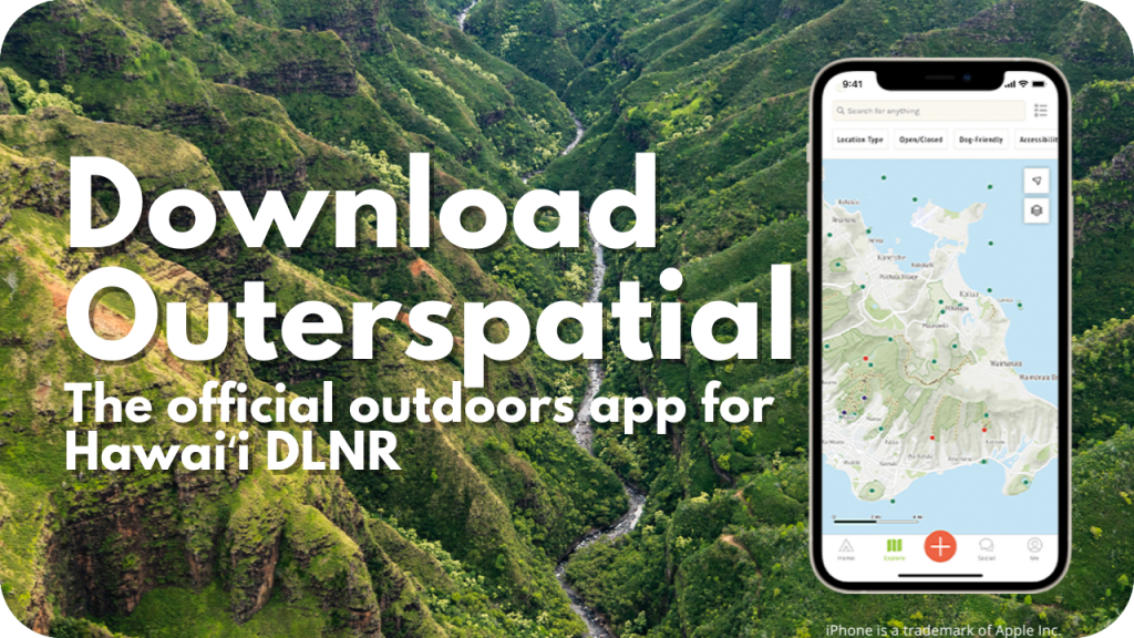
If you’re preparing for a hike, use the official app Outerspatial to get trail info, directions, download trail data for offline navigation, share your photos, and more. Using official information from Outerspatial ensures that you’re staying on legal trails, which helps us protect the environment and be good neighbors. On mobile, clicking any trail name below will lead you to the trail’s info in the Outerspatial app (and will assist you in downloading the free app if you don’t yet have it). On a desktop computer, the links will take you to Outerspatial on the web. You can alternatively use the Hawaiʻi Trails portal, which includes information for commercial trail vendors.
Oʻahu Trails
Find official Oʻahu hiking trails and public lands on Outerspatial, or click the name of the trail you’re interested in below:
-
- ‘Aihualama Trail
- Hau‘ula Loop Trail
- Hawai‘iloa Ridge Trail
- Judd Memorial Loop Trail
- Kahuku Motocross Park (Perimeter)
- Kalawahine Trail
- Kamananui Valley Road
- Kanealole Trail
- Kaunala Trail (West)
- Keālia Trail
- Keālia Access Road
- Kolowalu Trail
- Kuaokala Trail
- Kulanaʻahane Trail
- Kuli‘ou‘ou Ridge Trail
- Kuli‘ou‘ou Valley Trail
- Makiki Valley Trail
- Manana Trail
- Maunalaha Trail
- Maunawili Ditch Trail
- Maunawili Trail
- Maunawili-Waimānalo Access Road
- Ma‘akua Ridge Trail
- Moalepe Trail
- Mokuleia Trail
- Mokulēʻia Forest Reserve Access Road
- Mokulēʻia-Kuaokala Firebreak Access Road
- Moleka Trail
- Mānoa Cliff Trail
- Mānoa Falls Trail
- Nahuina Trail
- Nu’uanu Trail
- Pauoa Flats Trail
- Poamoho Hele Loa Road – (Online Permit)
- Poamoho Trail
- Pu’u ʻŌhiʻa Trail
- Pu’u Pia Trail
- Schofield-Waikane Trail
- Tantalus Arboretum Trail
- ʻUalakaʻa Trail
- Waimano Trail (Upper)
- Waimano Trail (Lower)
- Wa‘ahila Ridge Trail
- Wiliwilinui Access Road and Trail
Oʻahu PDF Maps
These PDFs can be downloaded and printed. You can also download trails for offline navigation in the Outerspatial app.
- Honolulu Mauka Trail System
- Hauula Trail System
- Pupukea Area
- East Honolulu-Kuliouou Area
- Kuaokala-Mokuleia Area
- Manana-Waimano Area
- Maunawili-Koolaupoko Trail Complex
Plans & Projects
- Kaʻiwa Ridge Trail Management Plan (Pillboxes)
- Maunawili Trail Archaeological Inventory Survey (1991)
Oʻahu Nā Ala Hele Advisory Council
The Nā Ala Hele Advisory Councils provide advice and assistance to the department in implementing the Nā Ala Hele Program. There are seven councils: a statewide council, and island councils for the islands of Kauaʻi, Oʻahu, Molokaʻi, Lānaʻi, Maui, and Hawaiʻi. Members of the advisory councils are appointed by the department chairperson and represent stakeholder groups including hikers, hunters, bikers, equestrian riders, off-highway vehicles, Hawaiian cultural representatives or practitioners, fishers, environmentalists, affected landowners, or other trail and access advocates.
Meeting documents for the Oʻahu Advisory Council are posted and archived below. Meeting documents of the other advisory councils can be found on the statewide Nā Ala Hele page or their respective island pages. For more information, contact Nā Ala Hele staff.
For more information, visit the Nā Ala Hele homepage.


