Laupāhoehoe
 Acres: 7,894
Established: 1/12/83
TMK: 3-7-1-2
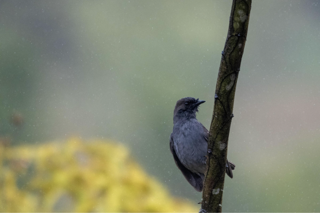
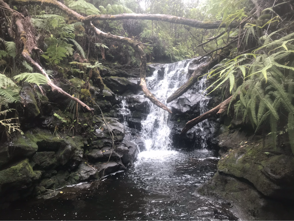
On the slopes of windward Mauna Kea, Laupāhoehoe includes examples of wet montane forests of ‘ohi‘a and koa. The poorly drained portions contain wet grasslands and small montane lakes. Numerous streams run through the Reserve.
Laupāhoehoe is located in the North Hilo District on the island of Hawaii, and stretches from just above 1,600 feet to about 4,600 feet elevation. Hakalau National Wildlife Refuge is adjacent to Laupāhoehoe Reserve, and protects habitat for several endangered forest birds known to occur in Laupāhoehoe as well. Five native natural communities can be observed in the Laupāhoehoe Reserve, including a tall-stature koa/‘ohi‘a forest in both montane and lowland zones, ‘ohi‘a/hapu‘u (Cibotium spp.) forest, Carex alligata wet grassland, and non-native dominated patches.
Activities
- Laupāhoehoe NAR is part of the Hawai‘i Experimental Tropical Forest. If you are interested in applying for permission to conduct research, research related activities, or educational activities please refer to the Hawai‘i Tropical Experimental Forest website
- Hiking, hunting
Permits & Rules
Laupāhoehoe Forest is protected and managed by the state for the benefit of the people of Hawai‘i, and is open to the public for various recreational and cultural uses. The use of Laupāhoehoe Forest for activities such as hiking, hunting and traditional and cultural practices, are high priorities for the local community.
Plans & Projects
Laupāhoehoe Forest Management Plan (2016)
- Laupāhoehoe Management Plan
- Laupāhoehoe Final Environmental Assessment (EA) 2016
- Conservation District Use Permit Laupāhoehoe
- Cultural, Historical Report Laupāhoehoe
- Laupāhoehoe Executive Order 3163
Additional Resources
- DLNR, USFS SEEKING PUBLIC COMMENTS ON DRAFT ENVIRONMENTAL ASSESSMENT FOR LAUPĀHOEHOE FOREST MANAGEMENT PLAN
- Laupāhoehoe Topographical Map
- Laupāhoehoe Topographical and Vegetation Map
- Laupāhoehoe Fact Sheet
Photos


