
Hawaiʻi Island Trails & Access
Hawaiʻi Island is the youngest and largest of the Hawaiian Islands, and is home to a wide variety of ecosystems. From the wet forests of the Hāmākua coast, to the dry forests of the Kona side, to the kīpuka-dotted lava fields of Mauna Loa, hikers on Hawaiʻi Island have an amazing selection of places to explore and in which to learn about Hawaiʻi’s ecological, geological, and cultural history.
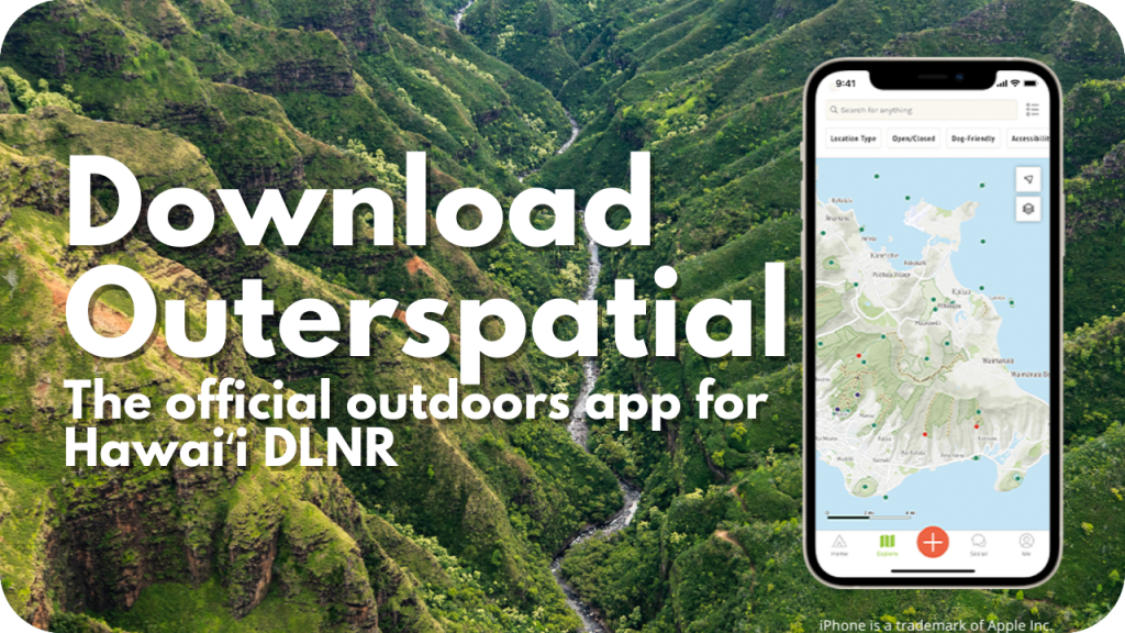
If you’re preparing for a hike and looking for use and access information on a specific trail, we host that information on the mobile app Outerspatial and in your web browser at the interactive Hawaiʻi Trails portal. The Hawaiʻi Trails portal also includes information for commercial trail vendors.

Hawaiʻi Island Nā Ala Hele Advisory Council
The Nā Ala Hele Advisory Councils provide advice and assistance to the department in implementing the Nā Ala Hele Program. There are seven councils: a statewide council, and island councils for the islands of Kauaʻi, Oʻahu, Molokaʻi, Lānaʻi, Maui, and Hawaiʻi. Members of the advisory councils are appointed by the department chairperson and represent stakeholder groups including hikers, hunters, bikers, equestrian riders, off-highway vehicles, Hawaiian cultural representatives or practitioners, fishers, environmentalists, affected landowners, or other trail and access advocates.
Meeting documents for the Hawaiʻi Island Advisory Council are posted and archived below. Meeting documents of the other advisory councils can be found on the statewide Nā Ala Hele page or their respective island pages. For more information, contact Nā Ala Hele staff.
Hawaiʻi Island Trails
The web map below shows Hawaiʻi Island Nā Ala Hele trails, overlaid on public reserve types and with DOFAW campsites. Click on a trail to see basic info and find a link to that trail’s use details on the HawaiiTrails website (hawaiitrails.hawaii.gov). You can find current hazards or closure information on that site. In the map below you can also click on the public reserve area that your trail of choice goes through. If available, we have links to a webpage about that reserve. Based on the reserve type you may need certain permits, which you can learn about at our Permits & Guidelines page. If the web map below does not display properly, try opening it fullscreen.
Overview Map of the Hawaiʻi Island Trail System
For a visual overview of the complete Hawaiʻi Island Nā Ala Hele trail system, click the button below (Latest revision: November 9, 2023).
For the most complete and up-to-date information, and to see pages for other islands, please visit the Nā Ala Hele homepage.